
Flight Companion
Hot Air Balloon Map
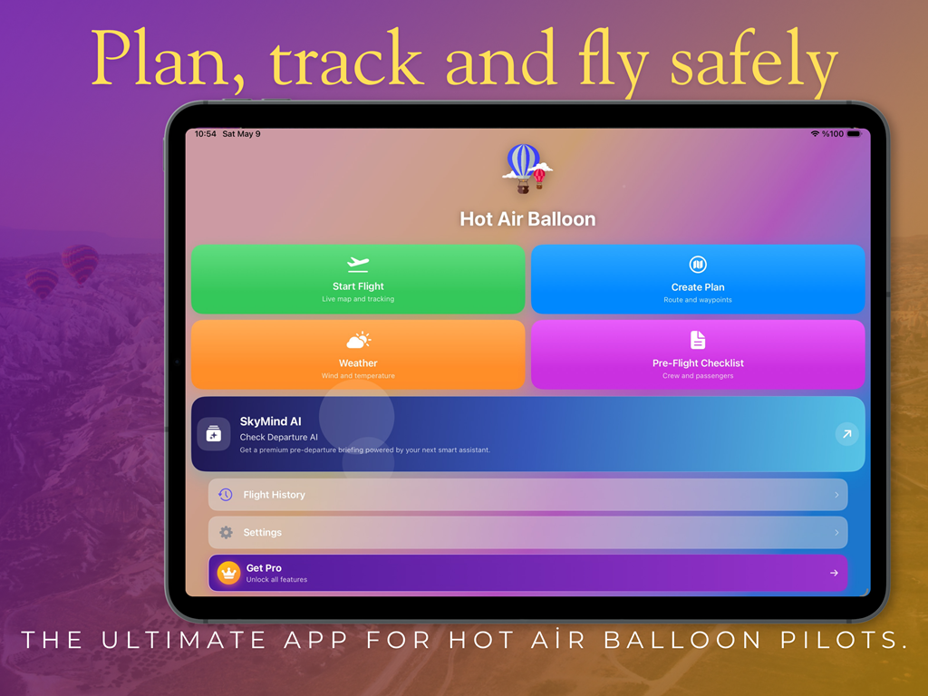
Hot Air Balloon Map is the ultimate flight companion for professional hot air balloon pilots, co-pilots, and enthusiasts. Designed specifically for balloon operations, it brings intelligent flight planning, advanced weather analysis, live tracking, and operational safety tools into one seamless experience on iPhone and iPad.
Whether you're preparing for a scenic sunrise flight or managing commercial balloon operations, Hot Air Balloon Map gives you the tools you need to fly with confidence.
Powered By
Google Gemini API
Weather Sources
AWC + Global Data
Devices
iPhone & iPad


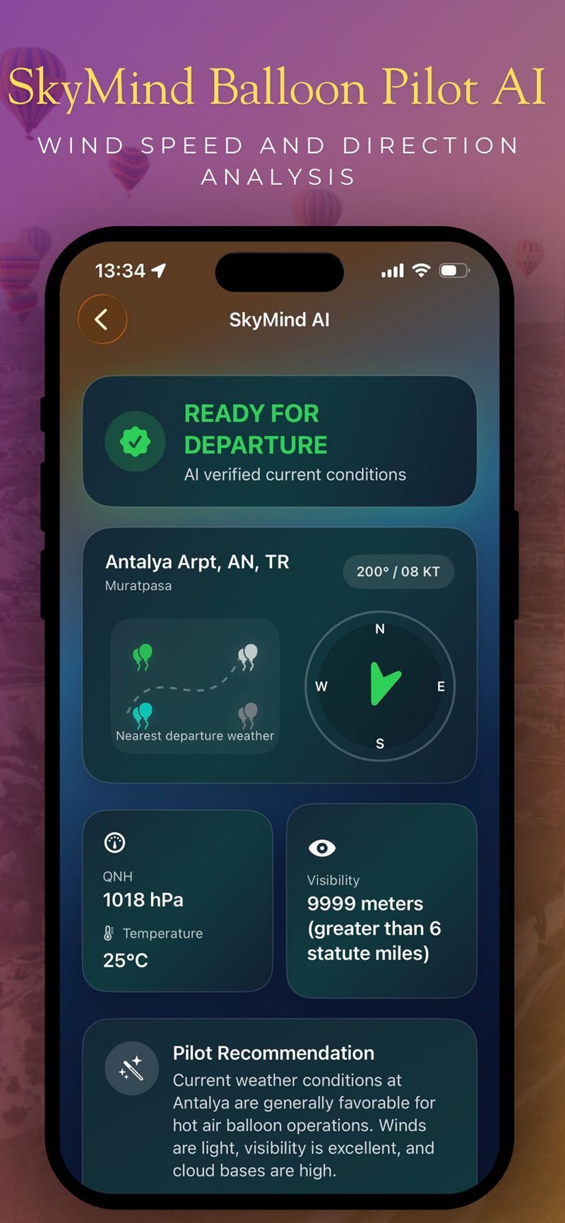
AI Assistant for Safer Pre-Flight Decisions
The app analyzes aviation weather data from AWC and global sources to deliver clear pre-flight recommendations before takeoff. It helps pilots understand conditions faster and make safer, smarter operational decisions.
Wind speed and direction analysis
Visibility and temperature evaluation
Ready for Departure flight status
Professional pilot recommendations powered by AI
Professional pilot recommendations, launch-coordinate-based weather summaries, and a clear flight status help your crew prepare with more confidence before every flight.
AI Briefings
AI-supported flight guidance designed for operational clarity, weather awareness, and safer launches.
Key Features
One modern operational workspace for planning, weather analysis, tracking, mapping, and safety workflows.
AI Assistant
Receive intelligent pre-flight briefings powered by Google Gemini API with wind, visibility, temperature, and ready-for-departure guidance.
Smart Flight Planning
Validate payload, balance, passenger weights, fuel limits, and operational readiness before every launch.
Real-Time Flight Tracking
Monitor routes live, estimate landing zones, log flight parameters automatically, and review flight history with confidence.
Advanced Mapping System
Switch instantly between Standard, Satellite, Elevation, and Dark Mode maps for maximum situational awareness.
Pre-Flight Safety Tools
Use customizable checklists, passenger lists, and safety workflows with instant alerts for missing or unsafe inputs.
Flight Logs & History
Review performance logs, historical weather, previous routes, and post-flight operational details in one place.
Smart Flight Planning
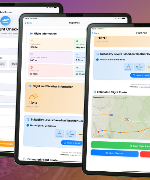
Plan every flight with precision using payload calculations, passenger and fuel weight management, safety checks, and flight readiness validation.
- Dynamic payload and balance calculations
- Passenger and fuel weight management
- Operational safety checks
- Flight readiness validation

Advanced Mapping System
Choose the perfect map view for every operation and stay aware during each phase of flight with mapping designed for balloon pilots.
Pre-Flight Safety Tools
Stay organized and compliant with safety-first workflows designed for commercial operations and scenic flights alike.
- Customizable pre-flight checklists
- Passenger list management
- Safety verification workflows
- Instant alerts for unsafe configurations or missing data
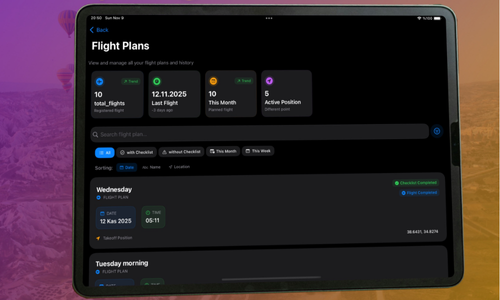
Flight Logs & Performance History
Review, improve, and standardize your operation with automatic logging, historical analysis, and post-flight review support.
- Automatic flight recording
- Detailed flight performance logs
- Historical weather and route analysis
- Post-flight operational review support
Latest Features
Built for Safer, Smarter Operations
Seamless switching between Satellite, Standard, Elevation, and Dark map styles
Intelligent landing zone visualization using live weather and flight parameters
Advanced payload calculations for safer operational limits
Real-time alerts for imbalances, missing information, and unsafe conditions
Why Pilots Choose It
Built to Improve Flight Awareness
With Hot Air Balloon Map, every flight becomes safer, smarter, and more organized. From launch prep to post-flight review, the app supports confident balloon operations.
Built specifically for hot air balloon operations
AI-powered weather and safety insights
Professional-grade planning and tracking tools
Optimized for both iPhone and iPad
Designed to improve operational awareness and flight safety
Fly confidently. Plan intelligently. Operate professionally.
The ultimate app for professional balloon operations
Intelligent planning, advanced mapping, live tracking, payload validation, and AI-supported weather analysis in one elegant cockpit for your team.
Terms of Use
End User License Agreement
Privacy Policy
Data handling practices
Support
Get help with the app
Firat Gulec
Visit Developer Website
© 2026 Firat Gulec. Official website of Hot Air Balloon Map.